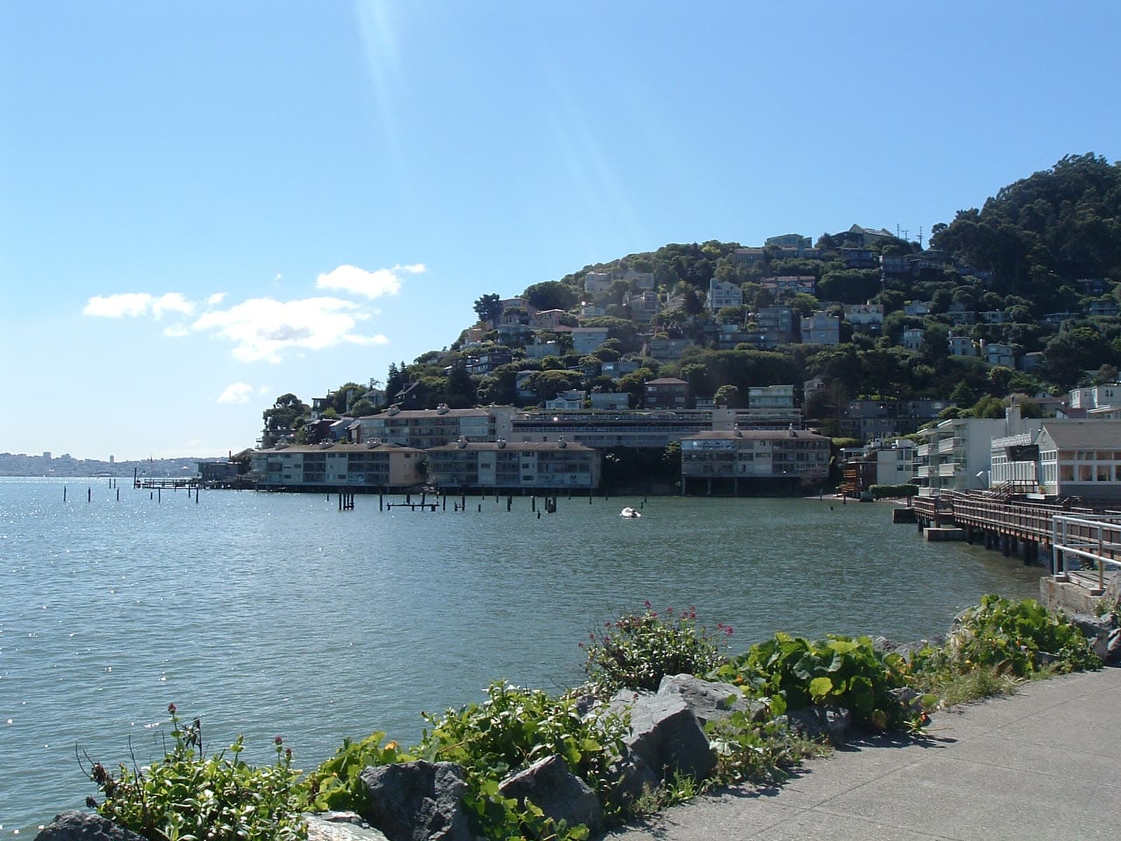
Where Sausalito is
Sausalito faces Richardson Bay on one side and backs onto the Golden Gate National Recreation Area on the other. The city covers 2.2 square miles, and about a fifth of that is under water. Whole streets that were drawn on the original map, with names like Pescadero, Eureka and Teutonia, lie beneath the bay.
Before the Golden Gate Bridge opened, Sausalito was where trains, cars and ferries met for the trip across to San Francisco.
The waterfront
During World War II the Marinship yard built ships along the Sausalito shoreline. After the war the town became known for artists, visitors and its houseboats, which still line the northern waterfront.
Bridgeway is the main street and follows the water through downtown. The Bay Model, a working hydraulic model of San Francisco Bay run by the U.S. Army Corps of Engineers, includes an exhibit on Marinship.
Getting around
Highway 101 passes just west of town, with exits at each end of Sausalito. Golden Gate Ferry runs between the downtown ferry landing and San Francisco. Golden Gate Transit buses connect Sausalito with San Francisco and the rest of Marin.
Nearby
Fort Baker and the Marin Headlands begin at the south edge of town, inside the Golden Gate National Recreation Area. Marin City, an unincorporated community, is a mile and a half to the northwest.
Schools
The Sausalito Marin City School District serves the primary grades. High school students are in the Tamalpais Union High School District.
City government and services
City Hall is at 420 Litho Street, and the main number is (415) 289-4100. The City of Sausalito website lists departments for planning and building, public works, parks and recreation, the library and police. For emergencies call 911. Contacts for every town are on the Marin County government and services page.
Local businesses in Sausalito
The Marin County business directory sorts local businesses by trade. Sausalito listings will appear there as each category is researched and checked.