Where San Rafael is
San Rafael is in central Marin, on the shore of San Rafael Bay. Highway 101 runs north to south through the middle of the city. Interstate 580 begins here and crosses the Richmond-San Rafael Bridge, the county's only bridge to the East Bay.
The city began in 1817, when the Spanish founded Mission San Rafael Arcángel as a sub-mission of the one in San Francisco. It incorporated as a city in 1874. Before that, the area held several Coast Miwok villages, including one near today's downtown and one near Terra Linda.
Neighborhoods
Downtown runs along Fourth Street, with City Hall and the mission one street over on Fifth Avenue. Gerstle Park, just south of downtown, is an older neighborhood that is easy to walk. Terra Linda covers the northern part of the city and has its own high school and recreation center. Peacock Gap sits out on the eastern peninsula near China Camp State Park.
Some places with a San Rafael mailing address are outside the city limits. Santa Venetia and Lucas Valley-Marinwood are unincorporated, so the County of Marin provides their services instead of City Hall.
Getting around
The San Rafael Transit Center at Third and Hetherton streets is the main bus hub for the whole county. Golden Gate Transit, Marin Transit, the Sonoma County Airport Express and Greyhound all stop there.
SMART, the Sonoma-Marin commuter train, has two stations in the city: one downtown at the transit center and one at Marin Civic Center. By car, most trips start on Highway 101 or Interstate 580.
Landmarks and parks
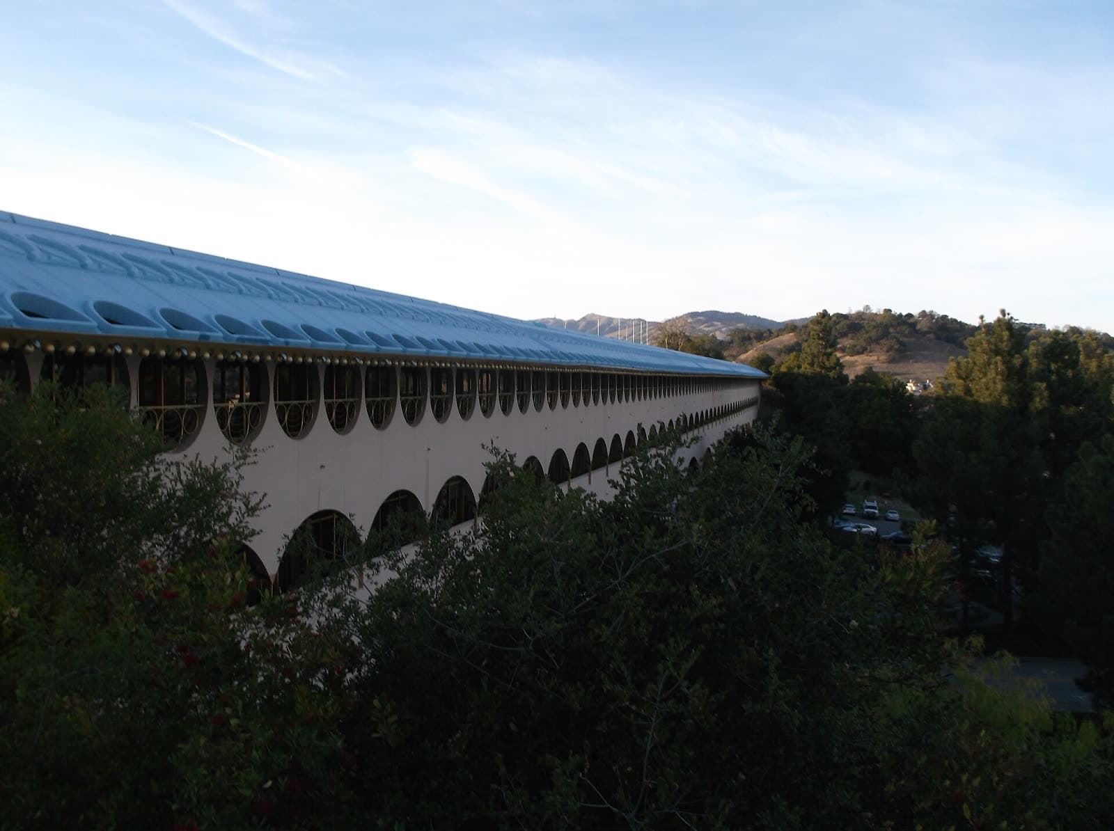
The Marin County Civic Center, designed by Frank Lloyd Wright, is in the north of the city and houses county government. George Lucas filmed parts of THX 1138 there, and parts of American Graffiti were shot in downtown San Rafael.
China Camp State Park and McNear's Beach Park are the largest parks, both on the bay shore east of downtown. Closer in, Albert Park, Boyd Park, Gerstle Park and Pickleweed Park have community facilities. San Rafael is also home to Dominican University of California and to one of the two campuses of Guide Dogs for the Blind.
Schools
San Rafael City Schools runs most public schools in the city, including both comprehensive high schools, San Rafael High School and Terra Linda High School, and Madrone, an alternative high school. The Miller Creek Elementary School District operates elementary and middle schools in the northern part of the area.
City government and services
City Hall is at 1400 Fifth Avenue, downtown. The City of San Rafael website lists every department, with permits, public works, parking, the library and recreation programs each on their own page. For police, fire or medical emergencies call 911. The police non-emergency line is (415) 485-3000. Contacts for every town are on the Marin County government and services page.
County services that cover San Rafael residents, such as the assessor, the courts and elections, are based at the Marin County Civic Center. Details are on the County of Marin website.
Local businesses in San Rafael
The Marin County business directory sorts local businesses by trade. San Rafael listings will appear there, and on their own San Rafael pages, as each category is researched and checked.